Be guided
SEAYOS allows one to position oneself in relation to other points (entry point, positions recorded underwater, positions transferred from the PC interface to SEAYOS) and to be guided towards these positions.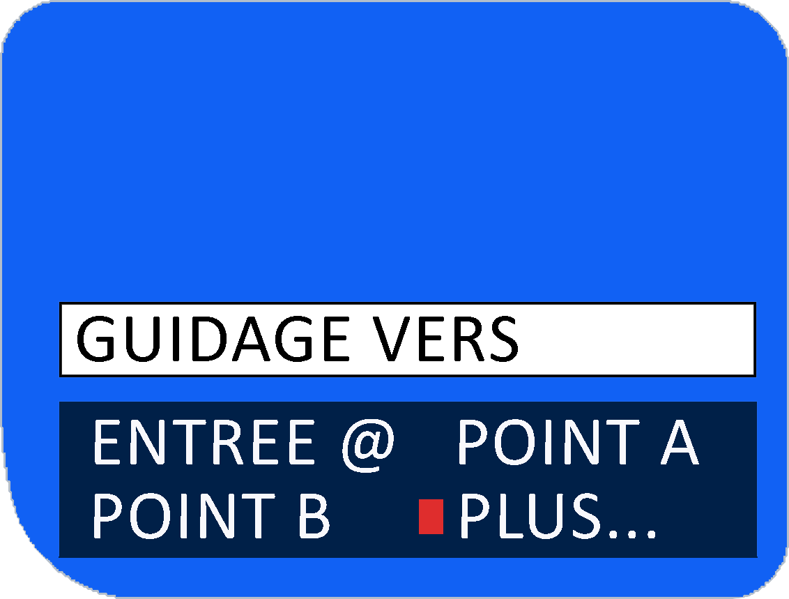
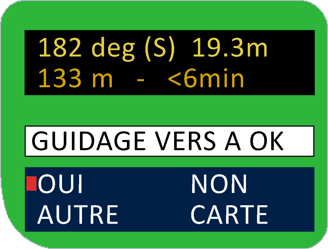
Once you've chosen the point you want to be guided to, the SEAYOS indicates the heading, the destination depth, the distance to cover, and the needed time to reach destination, which is estimated on the basis of swimming speed (configurable).
The "OTHER" allows you to change the destination point and "MAP" shows the route to be taken.
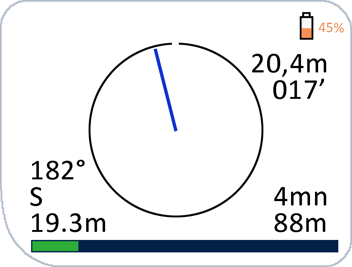
Once the destination has been confirmed, the guiding function takes the form of a "navigator", which indicates the direction to follow. The main information is displayed (depth, dive time, heading, destination depth, remaining time to destination and distance to cover) and are completed by a progress bar.
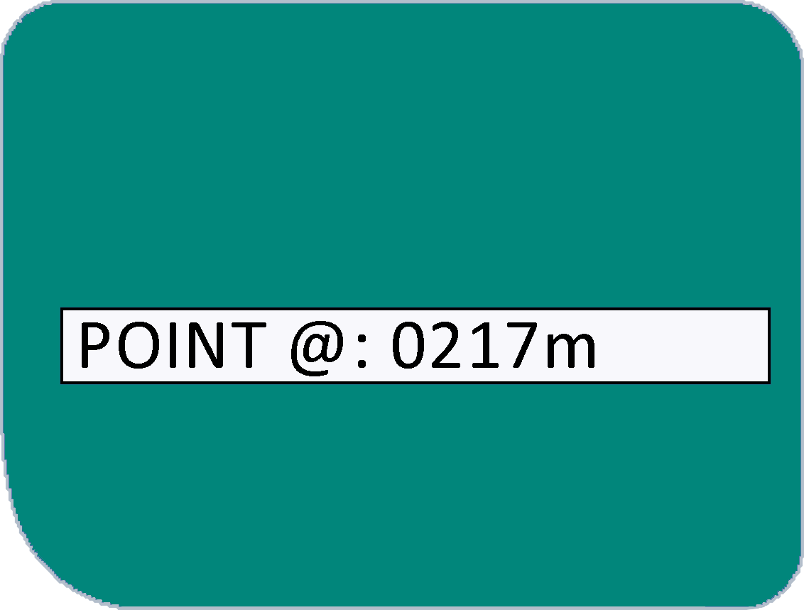
Note that at each position fix, the SEAYOS indicates the distance from the entry point (@).
Once the destination has been confirmed, the guiding function takes the form of a "navigator", which indicates the direction to follow. The main information is displayed (depth, dive time, heading, destination depth, remaining time to destination and distance to cover) and are completed by a progress bar.
Note that at each position fix, the SEAYOS indicates the distance from the entry point (@).
To carry out three-dimensional position fixes
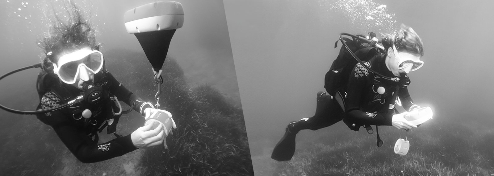
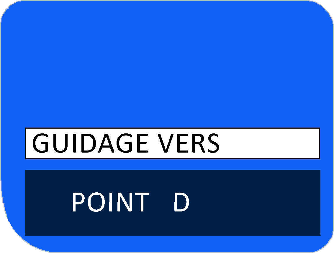
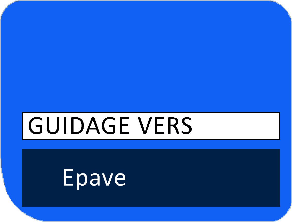
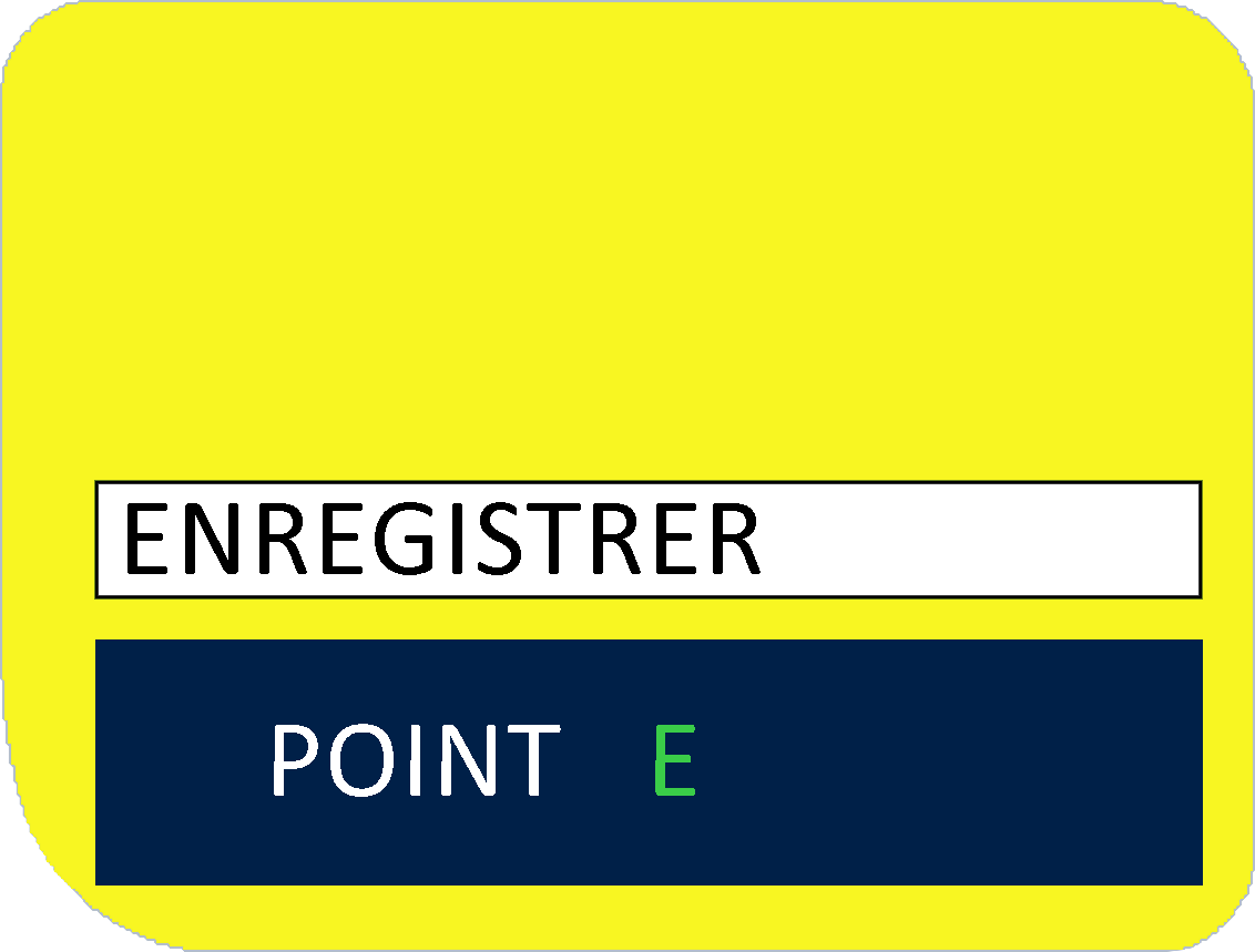
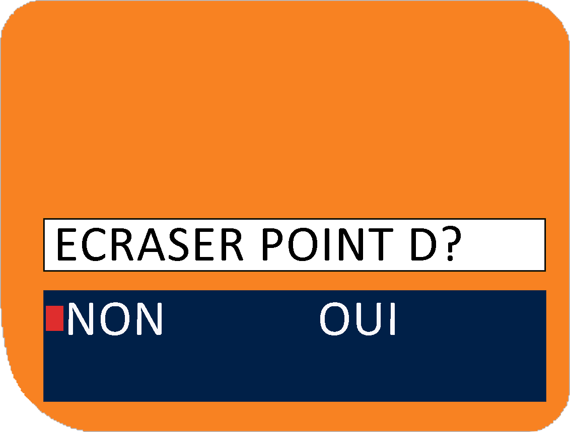
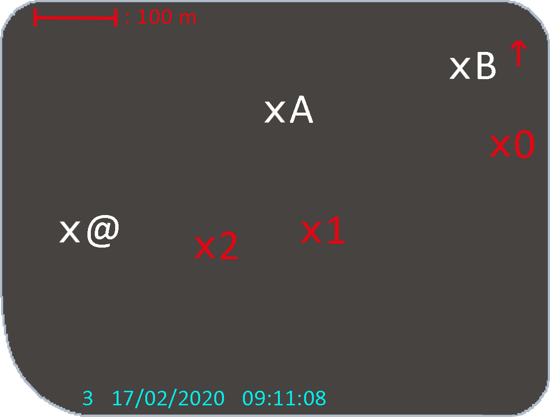
The SEAYOS can be used to record three-dimensional positions (geodetic coordinates and depth) and save up to 25 different points per dive (in addition to the "ENTRY @" starting point), each desginated by a letter of the alphabet. Z point is automatically recorded at the end of the dive : it corresponds to the return point to the surface.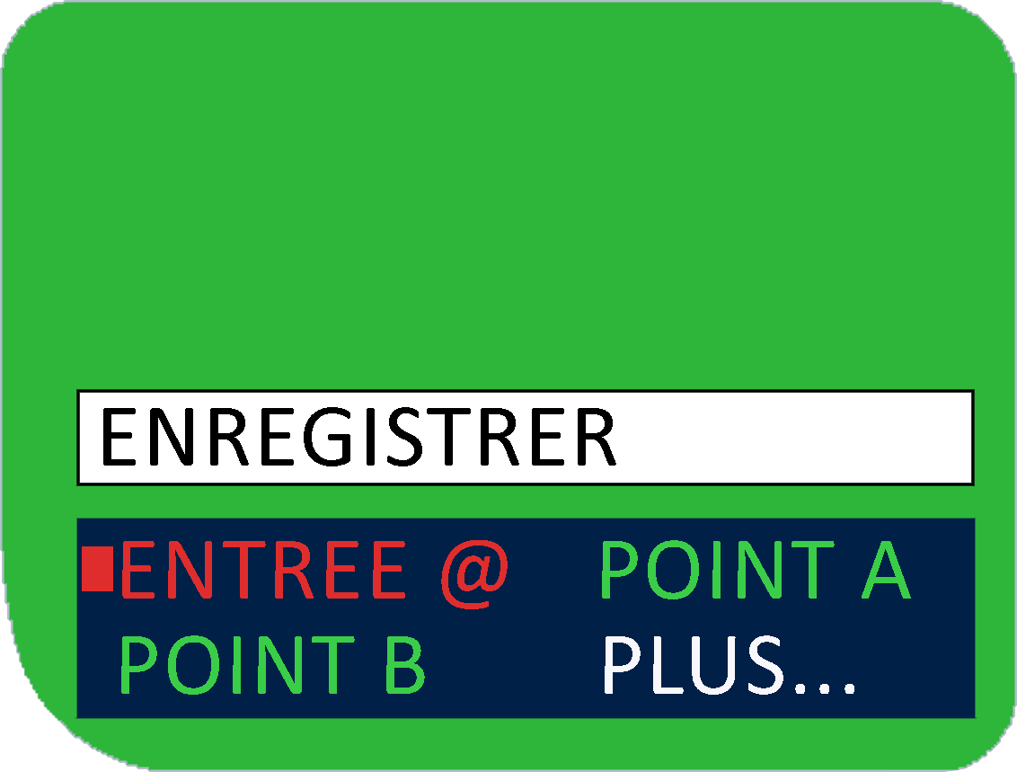
Data management
Like a dive computer, the SEAYOS has a dive log feature that displays data from dives carried out.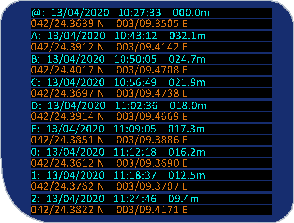
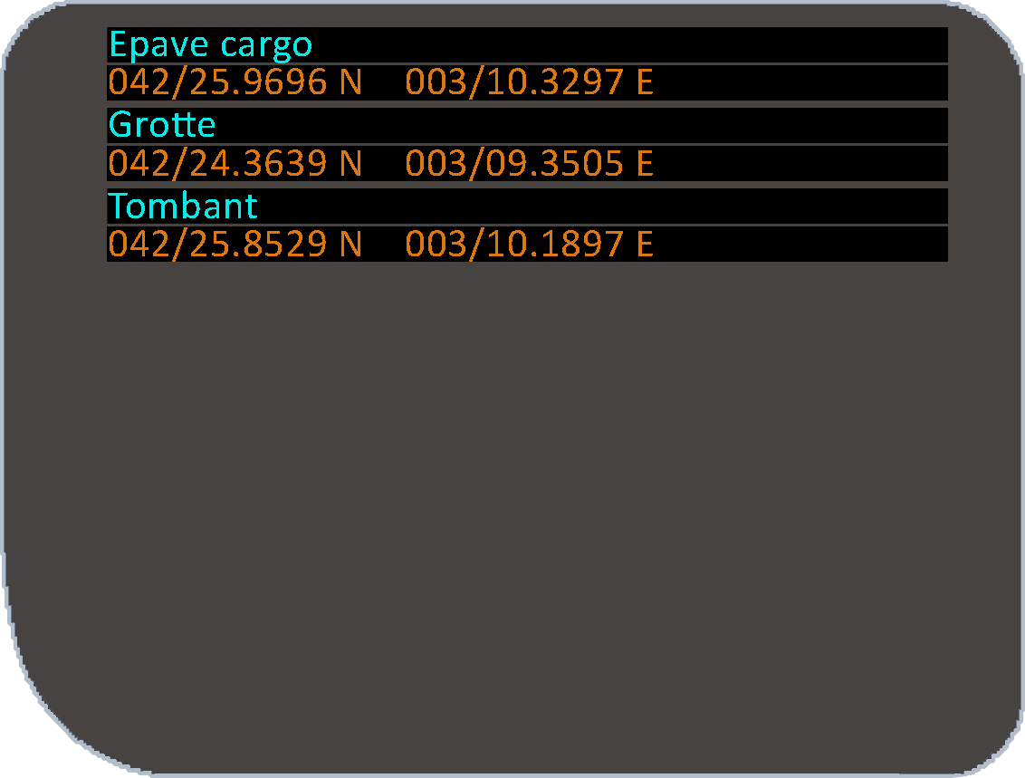
The points recorded underwater are classified by dive. In addition to these recorded points, it is possible to import points from the SEAYOS PC interface. These points are called «favourites» and can be
can be selected as the destination when guiding.
In the PC interface, they can be created by manually entering coordinates in decimal degrees minutes or by importing .KML, .GPX or .TXT files (formats used by many mapping tools such as Géoportail or Google Earth).
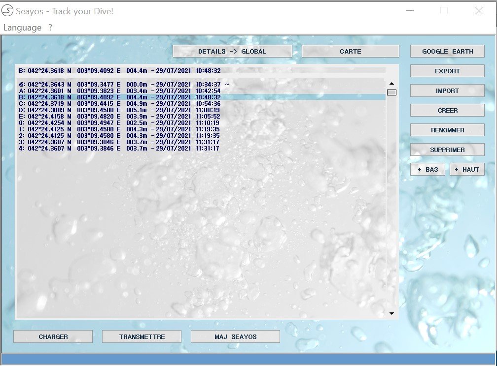
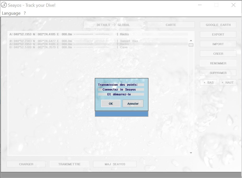
The collected data by the SEAYOS can be transfered to its PC interface.
Les données recueillies par le SEAYOS peuvent être transférées à son interface PC. Similar to the SEAYOS dive log, data is sorted by dive.
The PC interface allows you to renam and reorganise the recorded points and transfer them automatically to Google Earth, and export them in .KML, .GPX and .TXT format.
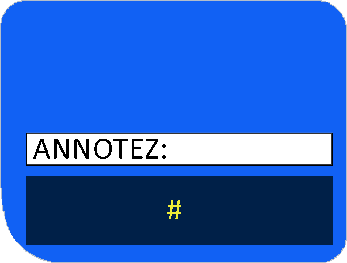
In addition, in order to make it easier to use the collected data (particularly for mapping purposes), the SEAYOS offers the option of annotating the recorded points by associating them one of the 6 following symbols: %,
$, !, *, + et #.